Guide & Services Road Sign (M1-6)
County Route Marker Sign Meaning & Driving Rules
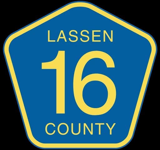
Identifies a secondary county-maintained highway or major rural connector.
Required Driver Action & Right-of-Way Protocol
Use the county route designation for local regional navigation.
Detailed Overview & Purpose
The County Route sign (M1-6) uses a distinctive blue pentagon with yellow borders. It designates major rural and suburban secondary corridors maintained by county road commissions rather than state DOTs.
Key Standard & Origin: The blue pentagon is the only standardized five-sided guide sign in the MUTCD (school signs use yellow-green pentagons).
Where You'll Find This Sign
Rural crossroads, suburban connectors, and county highway systems.
Common Driver Mistakes to Avoid
Confusing county route pentagons with school crossing signs (which are fluorescent yellow-green).
How This Sign Appears on the DMV Knowledge & Road Test
Tests sign shape and color identification (blue pentagon = county route).
Legal Penalties and Moving Violations
None; guide sign.
When you encounter the official County Route Marker (M1-6) on a roadway, what is your legal duty?
Prepare for Your State Permit Exam
Take full 2026 practice tests covering mandatory road signs, traffic laws, and state-specific driving rules.